Outdoor mapping platform
Plan the course. Publish the map. Ship the product.
Read the slope, the surface and the snow before anyone is on the ground. Put the finished course on your own site, or build the same maps into your product.
Works with the tools you already use


 Apple Health



 Other MCP clients
Two ways in
Use it online, or build with it.
Online Map Studio is built entirely from the Outdoor Platform. Everything you see in it, you can rebuild in your own product.
Use our online Map Studio
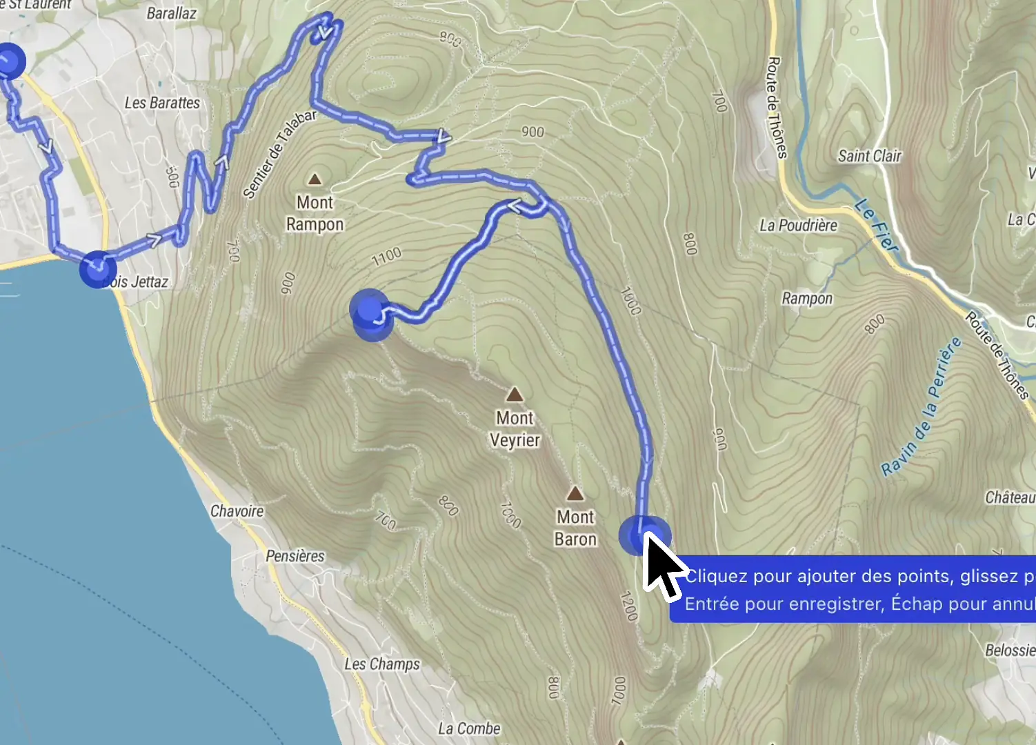
Draw the course with slope, surface and snow shown along the line. Review it with your team, then publish it on your own site.
Build Mountaya into your product
Put the same editor, maps and terrain data inside your own product, in your theme, for every organization you serve.
Online Map Studio
The whole course, built in your browser
Map Studio runs in your browser. Every feature in these clips also ships as a component for your own product.
Outdoor infrastructure for your products
Everything in the Outdoor Platform. One schema behind every product.
Every product here reads the same courses and the same terrain data. The map in your app and the maps your customers publish show the same figures.
Embedded Studio
The Itinerary Editor inside your product, for the organizations you serve.
 TypeScript
 React
SDKs & Elements
Typed API clients, map components and the parts Map Studio is assembled from.
TypeScriptReact Swift
 Kotlin
 Flutter
import { Mountaya } from "@mountaya/client";
import { LayerRank, MountayaMap } from "@mountaya/elements";
import "@mountaya/elements/styles.css";

const client = new Mountaya({
  credential: { publishableKey: "pk_…" },
});

const map = new MountayaMap({ container: "map", client });

await map.setItinerary(itineraryId, { fit: true });
await map.addEnrichment("hillshade");
await map.addEnrichment("pois");

// Of the points of interest, show water and parking.
const shown = ["drinking_water", "parking"];
for (const key of map.drawnLayerKeys(LayerRank.POI)) {
  map.setKeyVisibility(key, shown.includes(key));
}Data API
Strongly typed routing, elevation and terrain analysis, from one schema behind every API and every client.
TypeScriptReactSwiftKotlinFlutter// Three trail loops from Chamonix: about 14 km, 600 m of climbing.
const { routes } = await client.data.suggestions({
activity: "HIKING_AND_TRAIL",
start: [6.8712, 45.9231],
distance: 14000,
ascent: 600,
candidates: 3,
});
// Closest first: 13.8 km, +615 m, measured on the loop itself.
const loops = routes.map((route) => ({
distance: route.distance, // meters
ascent: route.elevation.ascent, // meters
duration: route.duration, // seconds, paced over slope and surface
surfaces: route.analysis.surfaceInfo, // surface per stretch
geometry: route.geometry, // GeoJSON, ready for your map
seed: route.seed, // send it back to keep or skip this loop
}));MCP Server
The Data API as tools your AI agent can call, with nothing to install.
 Claude
 ChatGPT
 Cursor
AI agent
Suggest three trail-running loops from Chamonix, around 14 km with 600 m of climbing.
{ activity: 'HIKING_AND_TRAIL', candidates: 3, distance: 14000, ascent: 600, start: [6.8712, 45.9231] }
3 loops · closest 13.8 km / +615 m
Three loops from Chamonix, each close to 14 km and +600 m. The tightest lands at 13.8 km with 615 m of climbing. Every candidate returns with full GeoJSON geometry, an elevation profile, and its surface breakdown.
Tile API
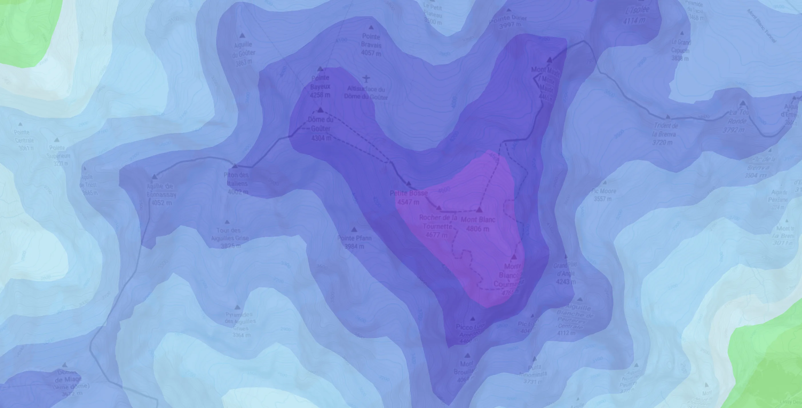
Terrain, weather, snow and POI tiles for the map stack you already run.
 Mountaya
 Mapbox
 MapLibre
 deck.gl
Why outdoor teams switch to Mountaya
Slope and surface come with the map, in the editor and in every API, and weather sits on top. Your team stops assembling them by hand.
- The line snaps to roads nobody runs
- The official course goes out as a PDF and a GPX file
- Your customers leave your product to draw a map
- Maps, profiles and tables rebuilt in every app
- Routing, elevation and geocoding bought from separate vendors
- Glue code rewritten for every AI agent
- A tile pipeline you build, host and keep current
- The Itinerary Editor follows the trail and reads the slope as you draw
- Map Publishing puts one live map on your own site
- Embedded Studio keeps them in your product, in your theme
- The SDKs & Elements ship them as typed clients and components
- The Data API answers all three from one typed schema
- The MCP Server hands any AI agent the same tools, hosted for you
- The Tile API serves terrain, weather and snow to your map stack
Use case
600,000 runners, one source of geospatial data: Mountaya.

Instead of juggling Google Maps, Mapbox, Strava, and other providers, we made Mountaya our single source of truth for all our geospatial data. Having one centralized, end-to-end platform radically simplifies how we manage our stack and build new products.
Jonathan Levy


Start mapping the terrain.
Bring a course or a product idea. We map your own terrain with you, then quote what you need.