The mapping platform for
outdoor professionals
Plan itineraries, analyze terrain, visualize weather. One platform for athletes, race organizers, outdoor apps, and data teams.
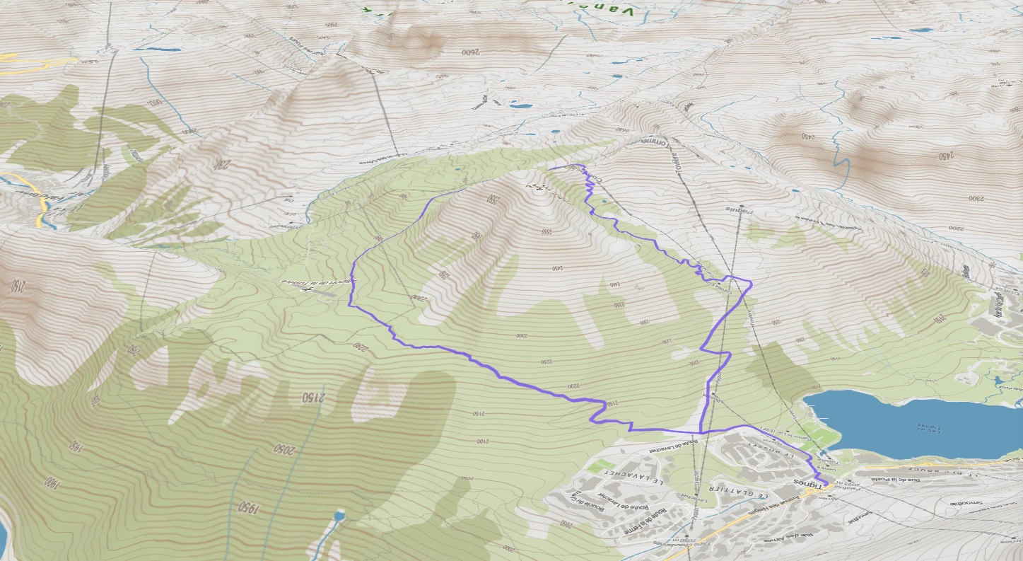
Map Studio
Ship race-ready courses, expeditions, and resort maps
Activity-aware routing on 3D map, with historical, live, and forecast weather plus surface analysis on every meter. Pro athletes, race directors, and mountain guides lock in their courses here before anyone sets foot outside. The outdoor and coaching apps that serve them build on top of it.
Map Embedding
Put your course map on your website in one line of code
Drop a branded, interactive map on your race site, coaching dashboard, or resort portal. Elevation profiles, live weather, zero maintenance. White-label ready.
Use case
How Campus Coach uses Mountaya as the single source of geospatial data for their 600,000 users.
Instead of juggling Google Maps, Mapbox, Strava, and other providers, we made Mountaya our single source of truth for all our geospatial data. Having one centralized, end-to-end platform radically simplifies how we manage our stack and build new products.
Jonathan Levy


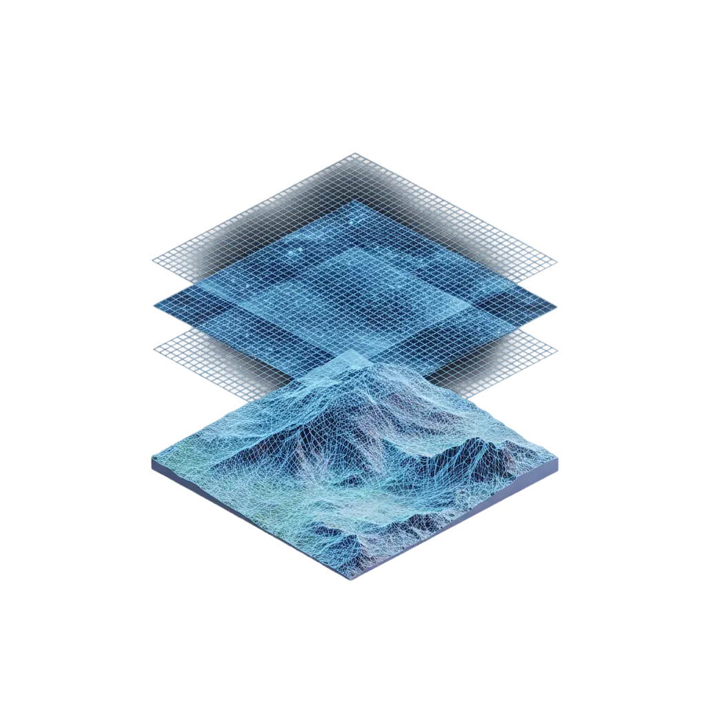
Outdoor intelligence and tiles for your products
Billions of geospatial data points. Agent skills and a GraphQL API for AI agents and apps. Vector and raster tiles for your own maps. The same engine that powers Map Studio, open to your stack.
Outdoor Intelligence
Worldwide outdoor intelligence, for your apps and AI agents
Give your product and team deep knowledge of terrain, weather, trails, and routes across every continent. Ask in plain language, get a precise answer ready to ship.

Outdoor Tiles
Beautiful outdoor layers for any map, anywhere on Earth
Terrain, weather, snow, trails, and points of interest across every continent. Ready to drop into the map you already use, without rebuilding a thing.