Every route, on brand
For outdoor brands
Turn your athletes' routes into a brand asset.
Centralize every ambassador route in one workspace. Let AI curate branded collections and publish them with one line of white-label embed. The route hub for brands like Red Bull.
In the Map Studio
The workflow, on screen
The capabilities you will lean on every week, shown at work in the editor.
Works with the tools you already use









Challenges we solve
Centralize ambassador routes and publish branded route intelligence.
One hub for every ambassador route
Pull ambassador routes out of the 20 apps they live in. Centralize everything your team designs and rides into shared workspaces with permissions and network-wide analytics.
Branded collections, curated by AI
Skip building the route library by hand. Let the AI curate destination, activity, and season collections you publish under your brand.
White-label anywhere your athletes are
Give athletes the terrain and weather context your brand could not deliver before. Embed routes on your site, app, or athlete portal with one line of code, styled in your brand.
Shared workspaces
Your athletes design, your brand publishes
Your roster designs and rides in shared workspaces with roles and permissions. The AI curates collections you publish under your brand, with analytics across the whole team.
- Shared workspaces with roles and permissions
- AI-curated collections by destination, activity, or season
- Network-wide analytics across your ambassador team
The toolkit
One workspace, nine sports, no lock-in
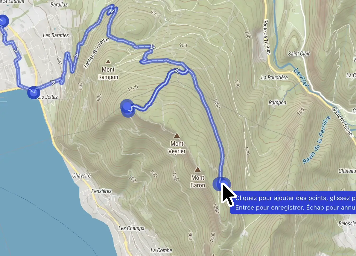
Structure the whole course in one place, switch sport and watch the routing retune, then take it out as a GPX or a branded flythrough.
Itinerary builder
Define segments, aid stations, checkpoints, waypoints, and route variants, all organized in a single workspace.
Nine outdoor activities
Trail, road, gravel, hiking, ski touring, and more. Routing, surface, and pace retune to the sport you pick.
GPX and KML, no lock-in
Import a file to recon a course, export any itinerary native to Garmin, Suunto, and Strava.
Export as video
Render a branded flythrough of the finished course for race briefings and social.
Course craft
The small moves that make a course real
A course is not one long line. Restructure segments, group them for the people reading the map, read the grade of the terrain, and publish only when it is ready.
Merge, split, insert
Combine two segments, cut one in two, or drop a new segment between two others, without redrawing the course.
Segments grouped into one leg
Group a run of segments so readers see a single clean leg on the map and the elevation profile.
SAC and bike difficulty grades
Read SAC hiking grades from T1 to T6 and mountain bike technical grades on every segment of the line.
Draft now, publish when ready
Keep editing in a private draft. Athletes, viewers, and embedded maps only ever see the published version.
Agents & API
The questions your team asks every day
Connect through an MCP server, Agent Skills, or GraphQL, and ask in plain language. Outdoor Intelligence answers.
Pull every route my ambassadors logged in the Dolomites this season.
ambassador itineraries · owned scope · deduped
The agent aggregates routes from the ambassador team, deduplicates overlaps, and ranks by distance and elevation.
Build a curated 'autumn gravel in the Alps' collection from these routes.
collection assembled · ready to publish
The agent filters by surface, activity, and season, then proposes a 10-route collection ready to publish under your brand.
Embed the top 5 on our brand site with our colors.
White-label embed snippets generated with your brand palette. One line per route.
Map Embedding
Your routes, your brand, your site
Embed curated routes anywhere your athletes are: site, app, or athlete portal. Style every layer and control in your brand, with one line of white-label code.
Why outdoor teams switch to Mountaya

- Route you onto roads and highways
- Weather and terrain live in three other tabs
- Every route redrawn from scratch
- Reshaping a route means dragging every waypoint by hand
- Sharing progress means emailing GPX files back and forth
- Exporting to your watch means juggling apps
- Activity-aware routing that follows the trail under your feet
- Weather, terrain, and snow on the same map
- Set a brief, get matching routes in seconds
- An AI co-pilot edits the map from a prompt while you refine it
- Real-time collaboration: your whole team edits one map together
- One GPX that Garmin, Suunto, and Strava read natively
Use case
How Campus Coach uses Mountaya as the single source of geospatial data for their 600,000 users.

Instead of juggling Google Maps, Mapbox, Strava, and other providers, we made Mountaya our single source of truth for all our geospatial data. Having one centralized, end-to-end platform radically simplifies how we manage our stack and build new products.
Jonathan Levy


Pricing
Pricing built around how you map
| Monthly requests | Per request | Per 1,000 |
|---|---|---|
| Up to 20,000 | 0.0050€ | 5.00€ |
| 20,001 to 50,000 | 0.0025€ | 2.50€ |
| 50,001 to 100,000 | 0.0020€ | 2.00€ |
| 100,001 to 1,000,000 | 0.0015€ | 1.50€ |
| Over 1,000,000 | 0.0010€ | 1.00€ |
Tiered pricing: each tier of your monthly usage is billed at its own rate, then added together.
Prices in euros, VAT excluded. Usage is billed monthly, at the end of each billing period.
| Monthly requests | Per request | Per 1,000 |
|---|---|---|
| Up to 200,000 | 0.00050€ | 0.50€ |
| 200,001 to 500,000 | 0.00025€ | 0.25€ |
| 500,001 to 1,000,000 | 0.00020€ | 0.20€ |
| Over 1,000,000 | 0.00010€ | 0.10€ |
Tiered pricing: each tier of your monthly usage is billed at its own rate, then added together.
Prices in euros, VAT excluded. Usage is billed monthly, at the end of each billing period.
Built for coaches, guides, and outdoor brands equipping the athletes they support, billed per athlete.
150€/month
1 × 150€/athlete · month
Ready to map your outdoors?
Start free in minutes, or talk to us about your team.
Frequently asked questions
Yes. The embedded map supports brand colors, logo, and custom domains on Enterprise.
Yes. Routes created under your workspace belong to your organization with full export.
Yes. The Data API exposes routes, athletes, and activity data. We support SSO and custom integrations on Enterprise.