Map Studio
Design, analyze, and publish outdoor maps in minutes
Plan itineraries, analyze terrain and elevation profiles, and visualize weather, all in a map editor built for the outdoors.
Design & Collaborate
Brief your crew, refine every variant, lock the final course together
Athletes, coaches, safety teams, and event partners work on the same live map. Drop annotations on risky sections, compare route variants, and sign off on the final course without a single email thread.
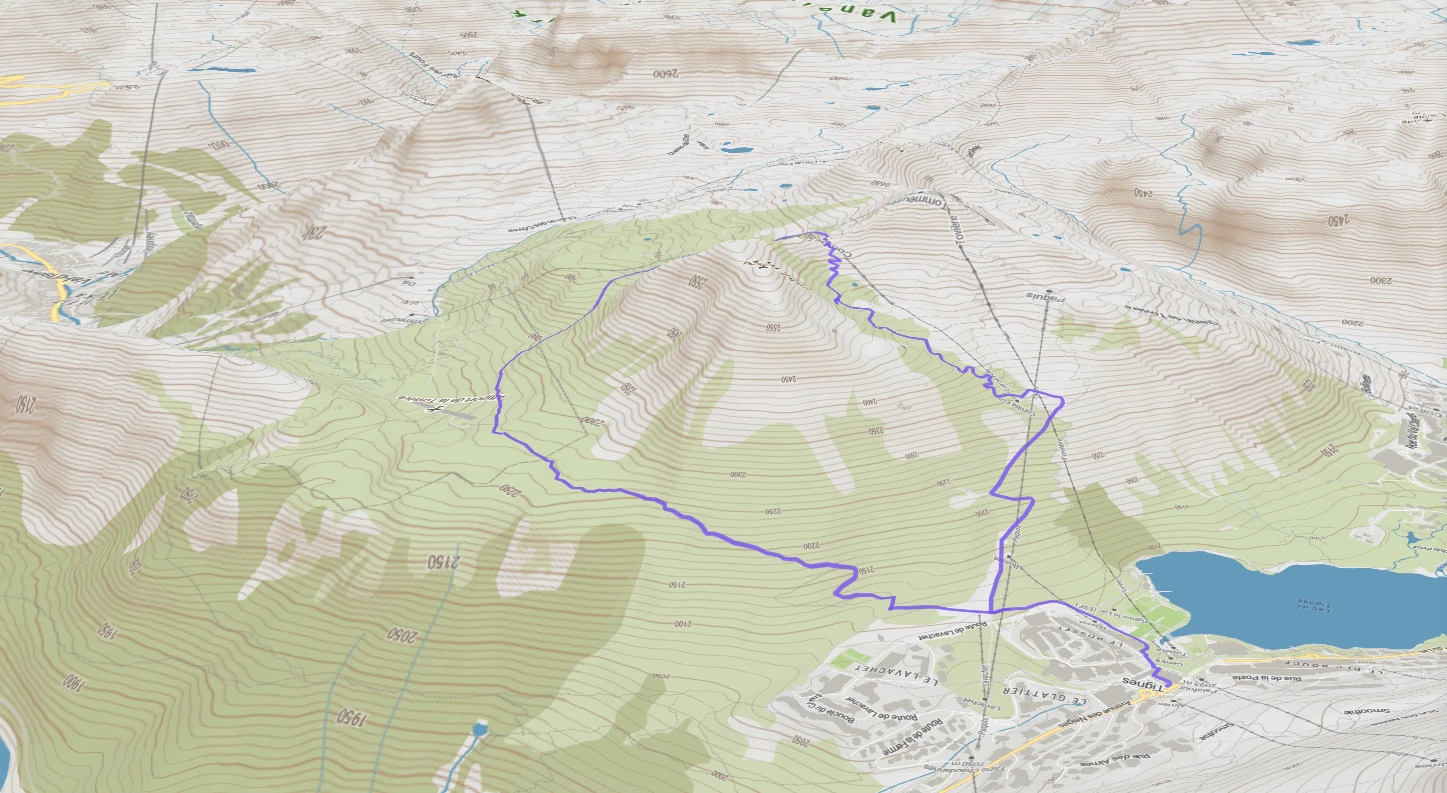
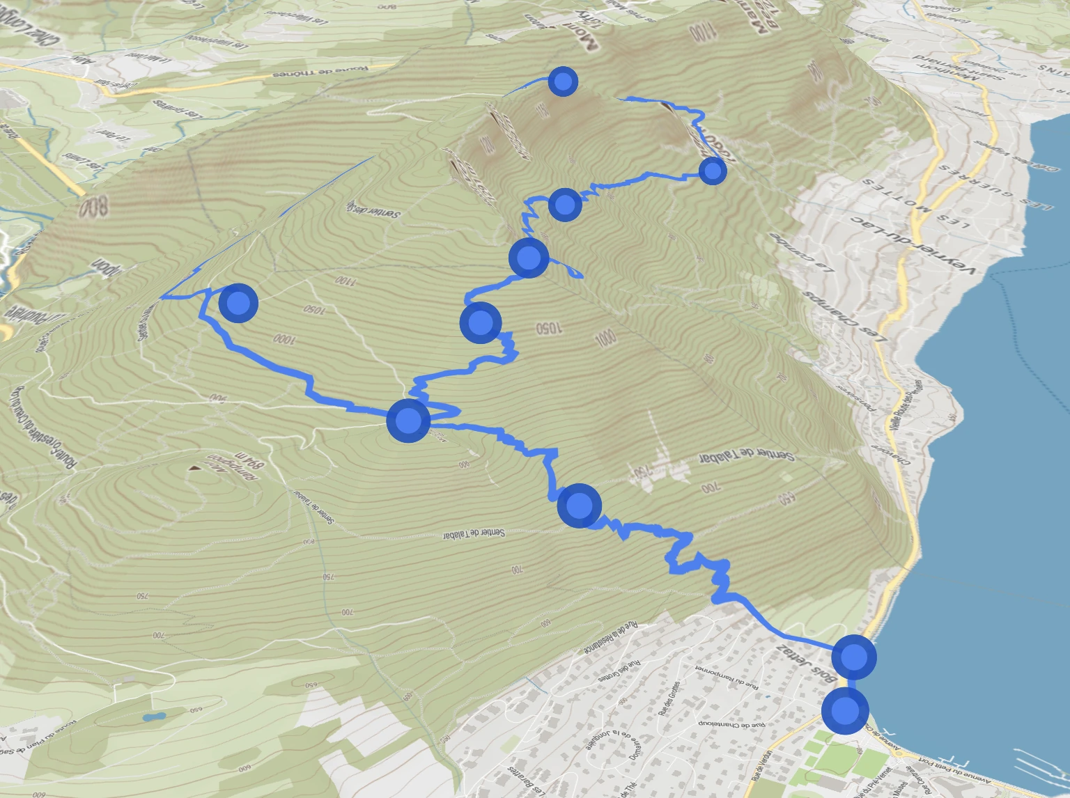
Itinerary builder
Define segments, aid stations, checkpoints, waypoints, and route variants, all organized in a single workspace.
Safety & risk analysis
Cross-reference slope angle, exposure, snow depth, and forecasts to flag risky sections before heading out, race day, or resort opening.
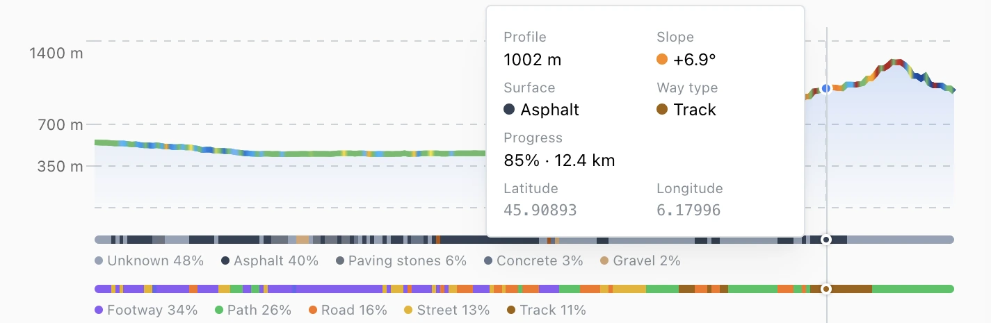
Elevation profile
Get total elevation gain, gradient breakdowns, and altitude profiles for every segment and section of your route.
Team workspaces
Organize routes into collections and share editing access with your crew, safety team, or event partners.
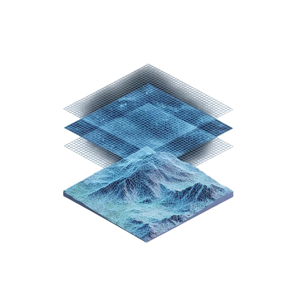
Design courses and plan routes that match real terrain
From race course design to recon planning, every route accounts for activity, surface, and gradient.
One click, the right path for your sport
Set your activity, we handle the rest. An ultra runner flows between singletrack and ridgelines. A road cyclist holds tarmac and mountain passes. A gravel rider links forest roads and farm tracks. A mountain biker drops into flow trails and technical descents. The right terrain, every time.
Generate itineraries from your constraints
Set your activity, target distance, elevation gain, and start/finish. We generate route options that hit your requirements.
Know every meter of your course
See what's underfoot at every point: way type, surface type, and gradient. Brief your runners, plan aid stations, or nail your race-day pacing.
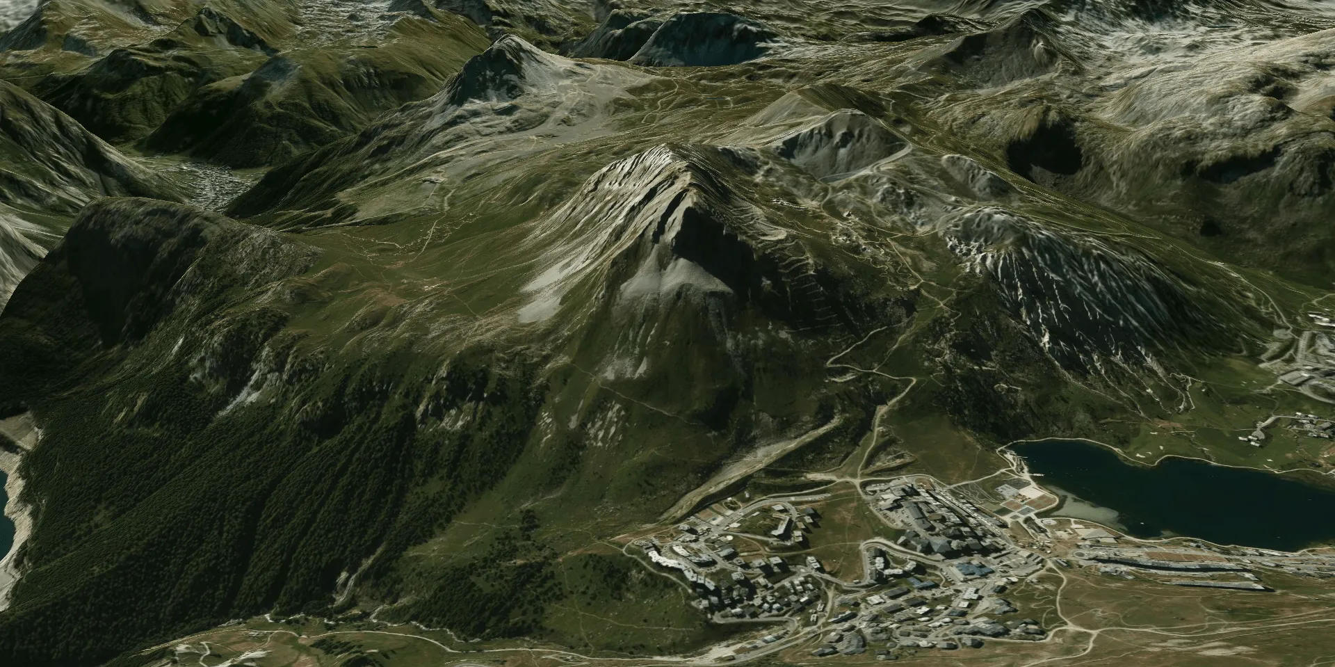
Map styles for every terrain and season
Choose satellite for course recon, topo for route planning, or winter layers for ski operations, each tuned to how you work.
 Satellite
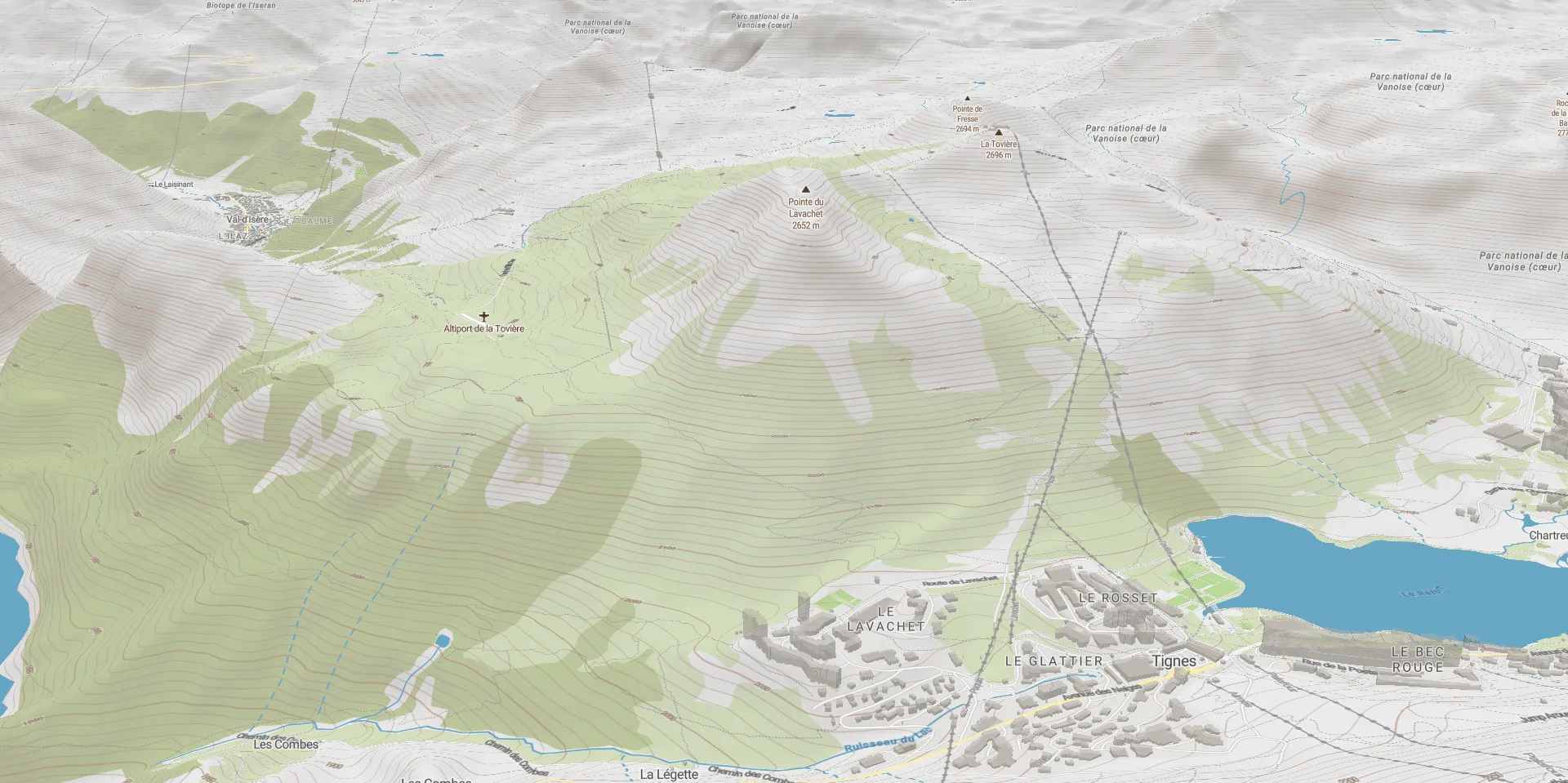 Summer topo
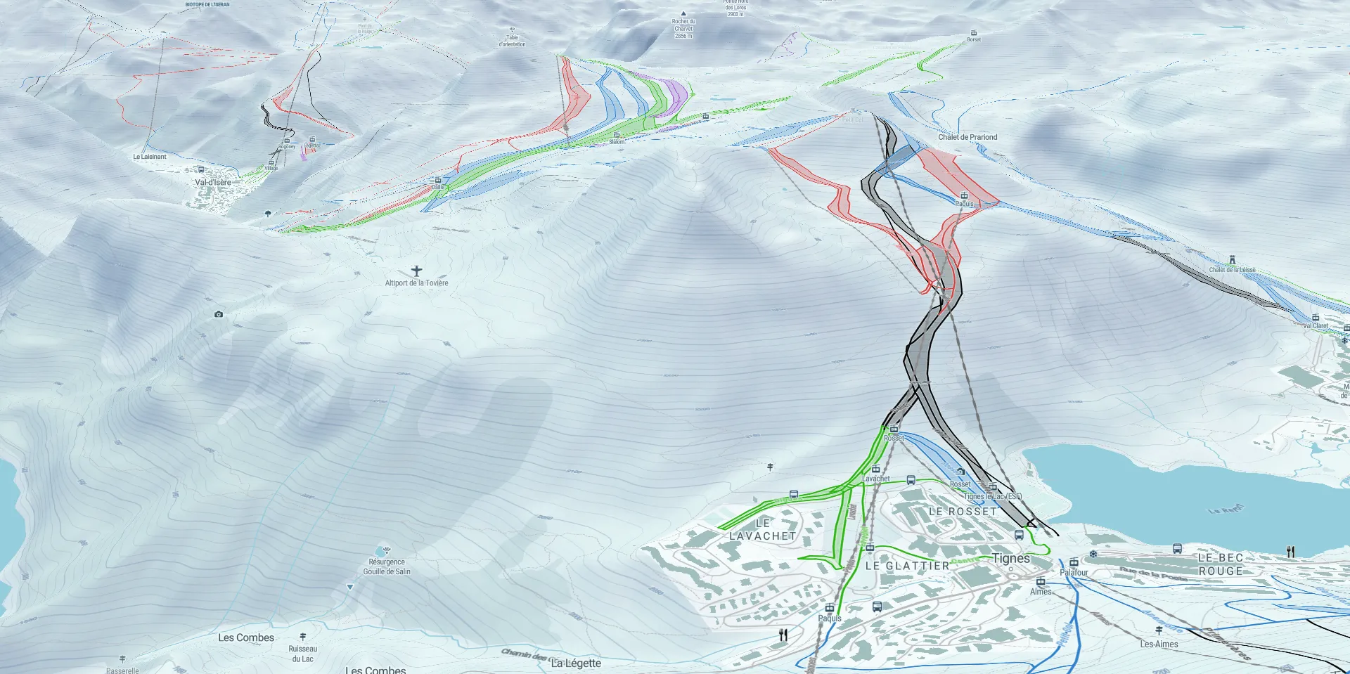 Winter topo
Surface analysis
Read the terrain at a glance. Spot steep sections, assess exposure, and plan safer passages across your entire course before heading out.
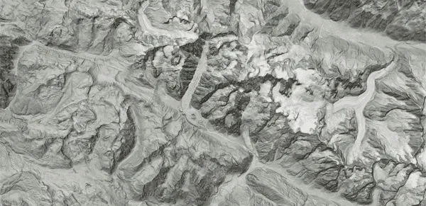 Hillshade
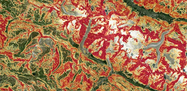 Avalanche zones
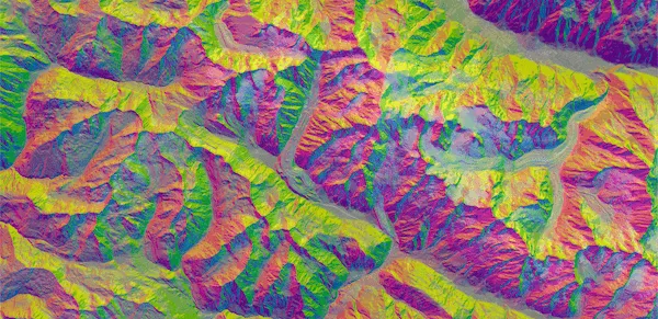 Aspect-Slope
Weather overlays
See how real-world conditions will affect your route at every point, so you can brief your team and adjust plans with confidence.
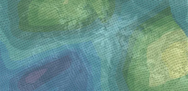 Wind
Wind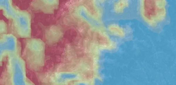 Visibility
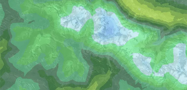 Perceived temperature
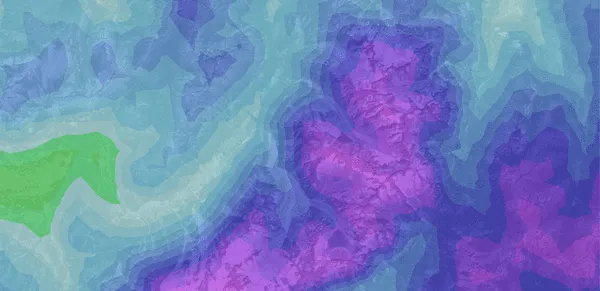 +7
+7Time-aware layers
Scroll through past conditions or preview upcoming forecasts at any point along your route. Every data layer supports full time navigation.
Map Embedding
Your maps, your website, your brand
Control what visitors see: elevation profile, trail characteristics, download options, map controls, etc. Over 25 options, fully branded to match your website.
Use case
How Campus Coach embedded interactive maps for races and trainings on their website with Mountaya.
We connected Mountaya Embedding directly into our CMS, which lets us easily tailor the display to each type of race event (road running vs trail), adapting map data and styles to every use case. A solution that was quick to integrate and perfectly flexible for our use case at Campus Coach. The technical support was genuinely straightforward.
Orphée Besson


Outdoor intelligence and tiles for your products
Billions of geospatial data points. Agent skills and a GraphQL API for AI agents and apps. Vector and raster tiles for your own maps. The same engine that powers Map Studio, open to your stack.
Outdoor Intelligence
Worldwide outdoor intelligence, for your apps and AI agents
Give your product and team deep knowledge of terrain, weather, trails, and routes across every continent. Ask in plain language, get a precise answer ready to ship.
Outdoor Tiles
Beautiful outdoor layers for any map, anywhere on Earth
Terrain, weather, snow, trails, and points of interest across every continent. Ready to drop into the map you already use, without rebuilding a thing.