Outdoor Intelligence
Worldwide outdoor intelligence, for your apps and AI agents
Give your product and team deep knowledge of terrain, weather, trails, and routes across every continent. Ask in plain language, get a precise answer ready to ship.
Activity-aware outdoor intelligence
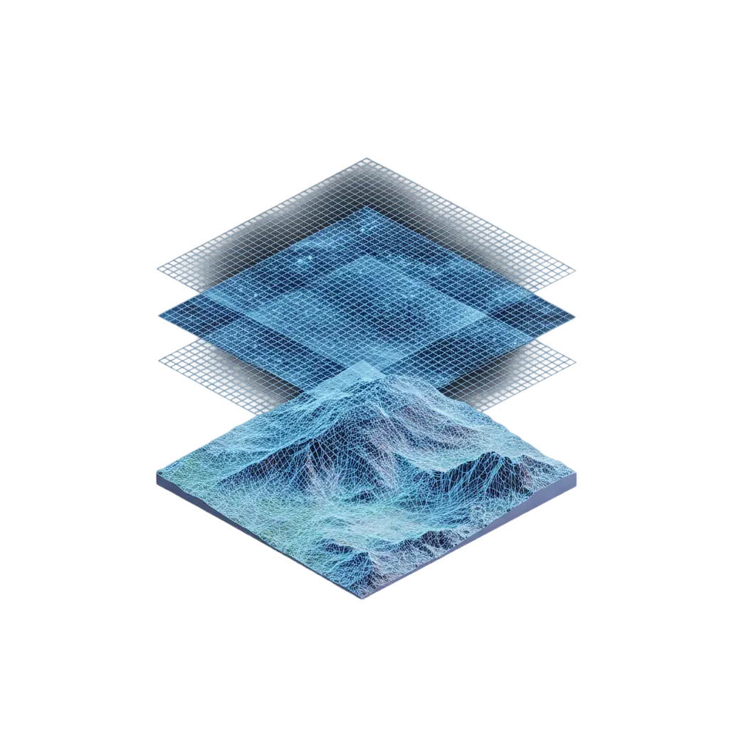
The unified outdoor data catalog
Activity-aware itineraries and itinerary suggestions, terrain analysis, weather, trails, POIs, etc. Worldwide coverage, refreshed every month. Ask your AI agent in natural language, or query via GraphQL.
Found a 12.4 km trail route from Chamonix to Argentière (1h34). Surface breakdown: · Dirt — 46% (start and finish) · Gravel — 47% (middle section) Waytype breakdown: · Footpath — first two-thirds of the route · Track — final stretch into Argentière The route follows singletrack paths along the valley, with a wider track descent at the end. Full geometry attached for mapping.
GraphQL Query
Response
Here are 3 ski touring loops from Courmayeur: 1. Val Ferret loop — 17.8 km, 1185 m D+ / 1185 m D- Closest to your 18 km / 1200 m target 2. Tête de la Tronche — 18.3 km, 1210 m D+ / 1210 m D- Slightly longer with more vertical 3. Col de Chécrouit — 16.9 km, 1150 m D+ / 1150 m D- Shorter alternative, gentler ascent All three are round trips returning to Courmayeur. Geometries attached — I can display them on a map or export as GPX.
GraphQL Query
Response
Here's the surface and waytype analysis for the UTMB course: Segment 1 — Asphalt / Road Town departure section on paved roads Segment 2 — Gravel / Track Transition from valley to trail on wider gravel tracks Segment 3 — Dirt / Path Main trail section on singletrack paths The route progressively moves from road to singletrack as you leave the valley. Surface data is indexed to the course geometry for precise overlay mapping.
GraphQL Query
Response
Walking times and distances between the three points: · Les Houches → Les Contamines: 12.4 km, 1h30 · Les Houches → Col du Bonhomme: 25.8 km, 3h00 · Les Contamines → Col du Bonhomme: 13.8 km, 1h35 Return times are slightly shorter (net elevation loss): · Les Contamines → Les Houches: 11.9 km, 1h25 · Col du Bonhomme → Les Houches: 25.1 km, 2h50 · Col du Bonhomme → Les Contamines: 13.5 km, 1h30
GraphQL Query
Response
Reachability zones from the Chamonix rescue base on foot: · 30 min — 2.1 km² (reach factor 0.42) Terrain-constrained, covers immediate town area · 60 min — 7.8 km² (reach factor 0.61) Extends to lower trailheads and valley floor · 120 min — 24.3 km² (reach factor 0.78) Covers most of the Chamonix valley Each zone is returned as a polygon geometry ready for map overlay. Reach factor indicates how circular the zone is (1.0 = perfect circle, lower = more terrain-constrained).
GraphQL Query
Response
Built for your team
Whether you're organizing a race, building a coaching app, or analyzing outdoor data at scale, ask your AI agent the same way.
Race Operations
"Plot 30-minute on-foot rescue isochrones from each medical post on the UTMB course — flag any aid station outside the reach zone"
- Multi-source isochrones
- Aid station coverage
- Activity-aware reachability
- Dead-zone detection
Coaching Platforms
"Generate a 25 km gravel ride from this athlete's home in Annecy with 600 m D+, staying at least 70% on unpaved surface — return the breakdown"
- Constrained route generation
- Surface composition filter
- Per-segment analysis
- Activity-aware routing
Data and Analytics
"Build a hiking-time matrix between every refuge in the Vanoise massif (~40 points) and return the 10 most isolated ones"
- Large-scale matrix
- Isolation analysis
- Bulk geospatial queries
- Refuge & POI catalog
API key authentication
Create as many publishable and secret keys as you need. Per-key usage analytics let you track consumption per integration, with rate limits enforced at the organization level.
99.9% uptime SLA
Built for queries that power race-day dashboards, coaching pipelines, and AI agents in production. No downtime when it matters most.
Worldwide, refreshed monthly
Directions, isochrones, matrices, and route optimization on the same global graph. Same precision in Chamonix, Patagonia, or the Japanese Alps. Catalog refreshed monthly, weather in real time.
The fastest way to outdoor data: ask your AI agent
Open-source skills that let any AI agent authenticate, discover our data, and query Mountaya in natural language. No docs, no queries. Every question on this page, your agent can answer out of the box.
 Claude
 ChatGPT
 Cursor
 Windsurf
Use case
How Campus Coach empowers 600,000 runners with instant outdoor intelligence from Mountaya, for greater training impact.
Mountaya's data intelligence lets us push personalization to a new level. We now fine-tune training plans to each athlete profile, from road to trail, with a precise command of distance and elevation demands.
Jonathan Levy

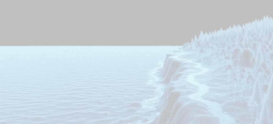
Outdoor Tiles
Beautiful outdoor layers for any map, anywhere on Earth
Terrain, weather, snow, trails, and points of interest across every continent. Ready to drop into the map you already use, without rebuilding a thing.