Outdoor Tiles
Beautiful outdoor layers for any map, anywhere on Earth
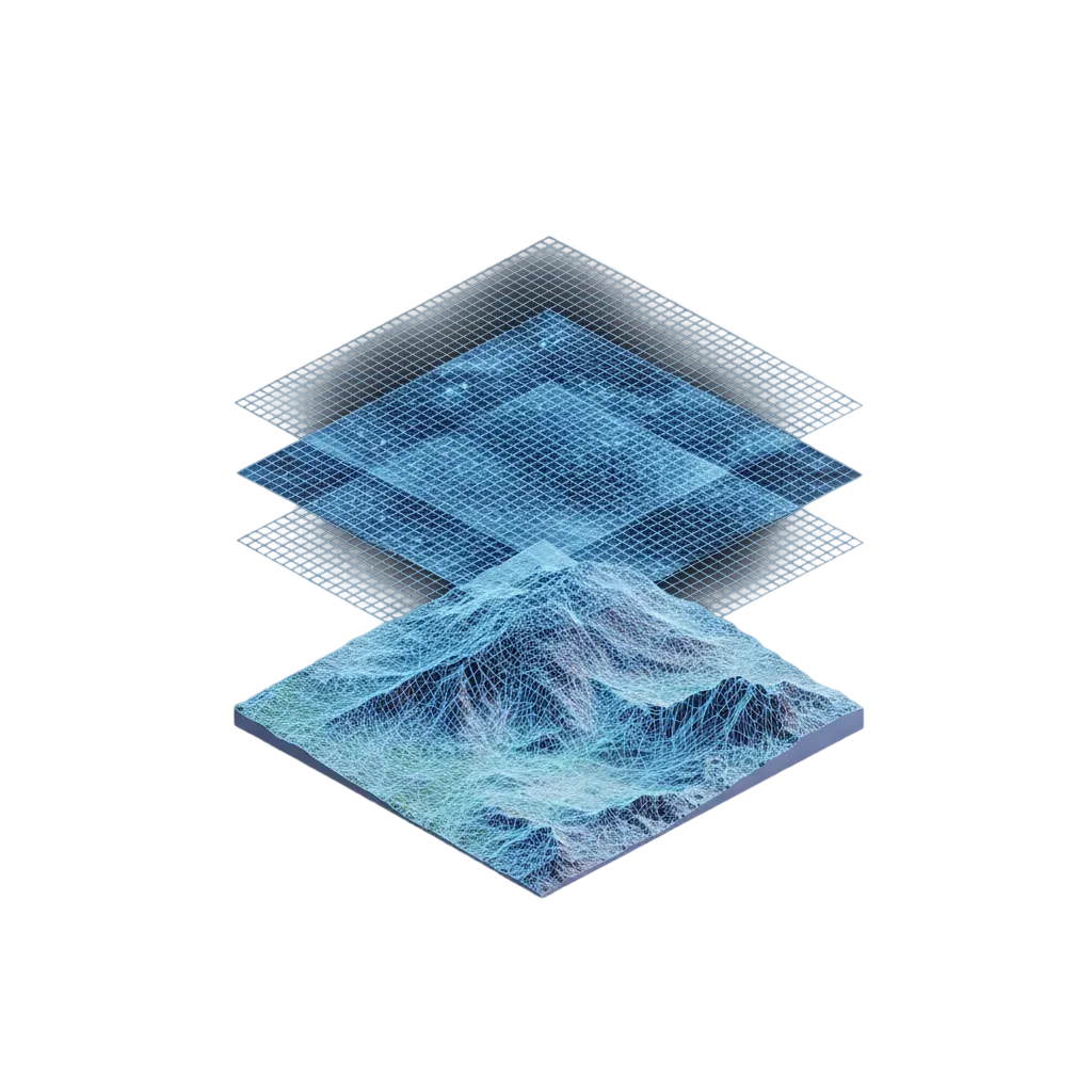
Mountaya on your own maps: terrain, weather, snow, itineraries, and points of interest across every continent. Ready to drop into Mapbox, MapLibre, or any map stack, without rebuilding a single thing.
Drop into your existing map stack


Every overlay your outdoor app needs
Surface analysis, weather, and snow conditions, served as vector and raster tiles, ready for Mapbox, MapLibre, or any other map stack.
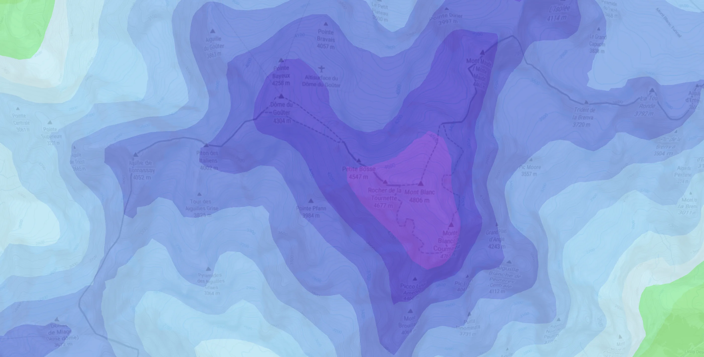
Surface analysis
Hillshade, avalanche zones, and slope-aspect tiles. Serve them as raster layers at any zoom level for higher precision and confidence.
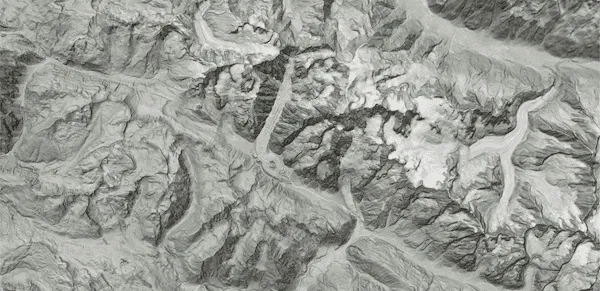 Hillshade
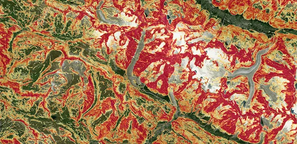 Avalanche zones
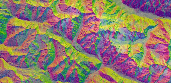 Aspect-Slope
Weather overlays
Wind, visibility, perceived temperature, and many more as vector layers. Live conditions plus 6-day forecast and 3-day history.
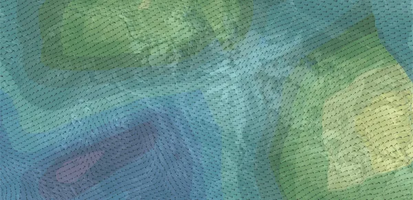 Wind
Wind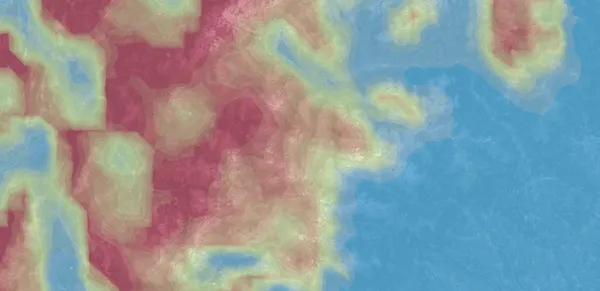 Visibility
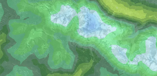 Perceived temperature
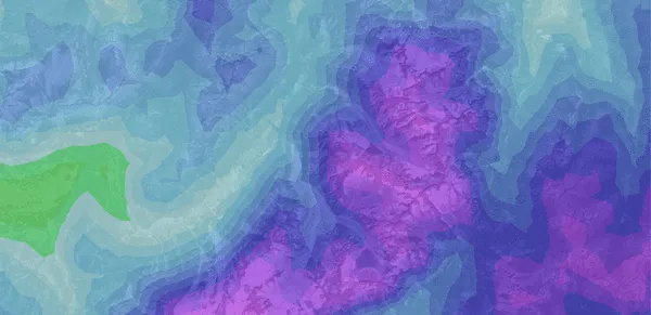 +7
+7Time-aware layers
Fetch historic or forecast tiles with a single timestamp parameter.
Your data as tiles
Render your itineraries, routes, collections, and drawings created in Map Studio as vector layers on your own maps.
A simple and smooth developer experience
Fetch the spec, render the tiles
One GET returns tile URLs, legend data, and display metadata. Pass the URLs to your map library and you're live.
Built-in legend metadata
Every overlay spec includes color steps, value ranges, units, and localized descriptions. Ready to render a legend in your UI without hardcoding anything.
Vector and raster tiles
Raster tiles for surface analysis like hillshade, slope-aspect, and avalanche zones. Vector tiles for weather and snow conditions, with client-side styling and interactivity.
API key authentication
Create as many publishable and secret keys as you need. Per-key usage analytics let you track consumption per integration, with rate limits enforced at the organization level.
99.9% uptime SLA
Production-grade infrastructure for race-day operations and spectator-facing apps. No downtime when it matters most.
Worldwide coverage
Terrain, weather, trails, and POIs across every continent. Same schema, same precision, whether you query Chamonix, Patagonia, or the Japanese Alps.
Give your AI agent outdoor tile intelligence natively
Open-source skills that let any AI coding agent authenticate, discover layers, and render Mountaya tiles. No manual integration needed.
 Claude
 ChatGPT
 Cursor
 Windsurf
Use case
How Campus Coach empowers 600,000 runners with unified terrain and weather maps from Mountaya, for greater training impact.
The depth of Mountaya's mapping ecosystem transforms the experience on our mobile apps. By integrating their contextual data, we give our users the terrain insight they need to anticipate and prepare their races in the best possible conditions.
Jonathan Levy


Outdoor Intelligence
Worldwide outdoor intelligence, for your apps and AI agents
Give your product and team deep knowledge of terrain, weather, trails, and routes across every continent. Ask in plain language, get a precise answer ready to ship.