For coaching and performance teams
A route for every athlete, built from one brief.
Set the sport, distance, ascent and start once. Each athlete gets a route that fits, sent as a link or as a GPX for their watch.
Works with the tools you already use


 Apple Health



 Other MCP clients
Plan the session in Mountaya and export one GPX. Strava and the watches above import it natively, so your athletes keep the app they already train with.
How Mountaya works with StravaIn the Map Studio
Watch a course take shape
Short clips of the editor at work on a real course. Pick one and watch the line, the profile and the team move together.
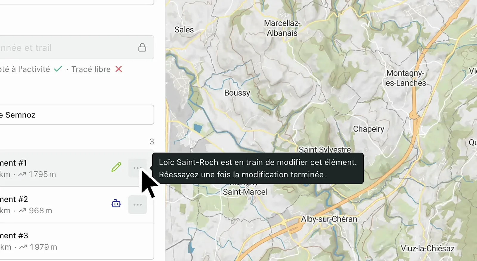
Online Map Studio
From a brief to a loop that fits
Give the Itinerary Editor a sport, a distance, an ascent and a start. It drafts loops that fit, for trail, road running, road cycling, ski touring or snowshoe, ready to adjust and send.
- Loops built to distance, ascent, start and finish
- Weather and surface on the map while you adjust the line
- Sent as a link or a GPX, with no app for the athlete to install
Weekly planning
One routine for every athlete you coach
Brief, send, switch sport and adapt to the weather, the same way every week.
A brief becomes a route
Set distance, ascent, start and finish. The Itinerary Editor returns loops that fit, ready to adjust.
Every discipline on one map
Trail, road running, road cycling, ski touring, cross-country skiing and snowshoe route on the same map. Routing and pace follow the sport you pick.
Replan when the weather turns
Weather, snow and slope sit on the map. When a session no longer works, reshape it the same morning.
Climbs read off the profile
Distance, ascent and gradient for every segment, so the hard part of a session is plain before it starts.
The athlete installs nothing
Send a link and the athlete opens the map, the elevation profile and the weather in a browser.
Their own pace
Athletes enter their pace and read the session re-timed for it. Your own figures stay as you set them.
The file their watch reads
Send the route as GPX, FIT or TCX, and Garmin, Suunto and Strava import it natively.
Drafts stay private
Keep editing a private draft. Athletes only see the version you send.
Map, profile and segment table
The effort of a session, on the map and in figures
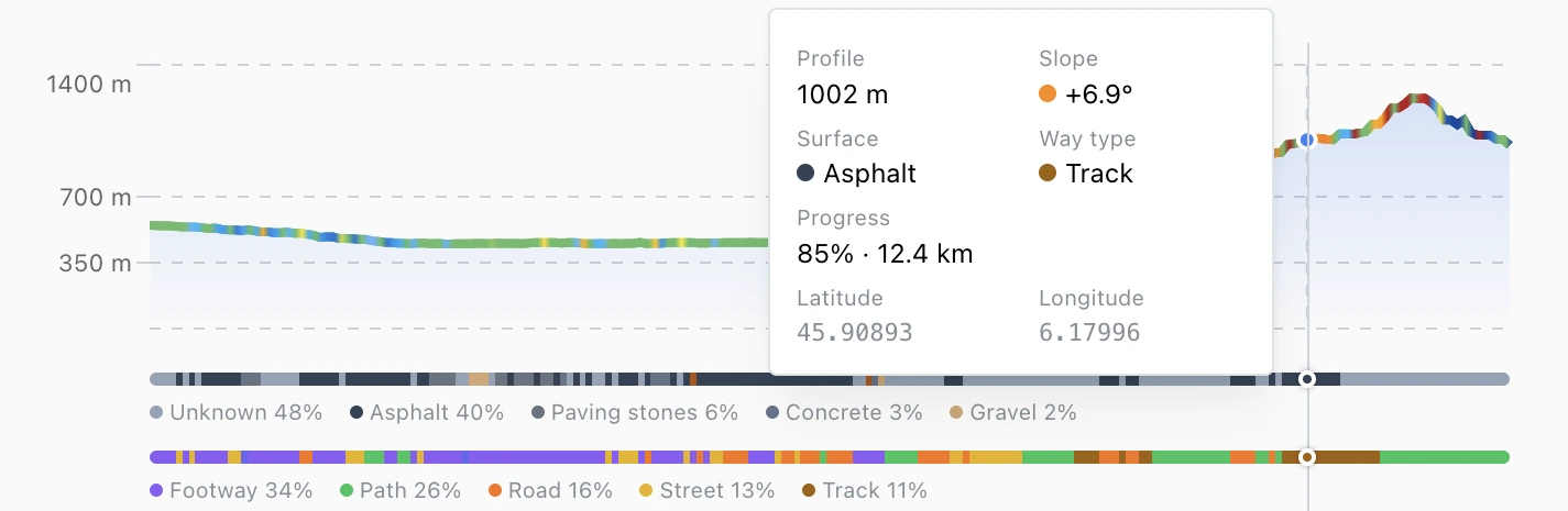
The profile draws altitude over distance, so an athlete sees where the climbing falls before starting. The table breaks the session into segments, each with its distance, climb and descent, ready for your pacing notes. They run here on a real alpine course.
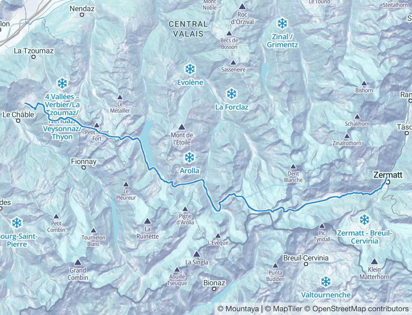
Segment table of the Patrouille des Glaciers course, one row per segment from Zermatt to Verbier, each with its distance, climb, descent and altitude range.
- Distance
- 55.9 km
- Ascent
- 4,235 m
- Descent
- 4,365 m
- High point
- 3,643 m
The map follows the profile
Move along the profile and a card gives the distance, the altitude and the climb so far at that point. A marker follows on the map.
Waypoints on the profile
The course's waypoints are pinned on the profile at their own distance, and each segment is summed up underneath.
Each row lights its segment
Pointing at a row of the table lights that segment on the map. Pointing at the course on the map lights its row.
One set of figures
Each segment's distance and climb are computed once, on our servers, from the full track. The table, the profile and the map state the same numbers.
AI agents and API
The questions your team asks every day
Ask in plain language through the MCP Server, or call the typed client. The Data API answers.
AI agent
Build me a Zone 2 loop with 600 m of climbing, starting and finishing at the trailhead.
{ activity: 'HIKING_AND_TRAIL', candidates: 3, distance: 14000, ascent: 600, start: [6.8712, 45.9231] }
3 loops · closest to +600 m
3 loops come back. The closest to 600 m of climbing is kept, with each segment labeled by gradient.
Same loop, on dirt only, no asphalt.
{ activity: 'HIKING_AND_TRAIL', candidates: 3, distance: 14000, ascent: 600, start: [6.8712, 45.9231] }
re-shaped · paved sections dropped
The loop is rebuilt without its paved sections. The surface breakdown shows what it runs on now.
Put the climbing in the first half.
{ activity: 'HIKING_AND_TRAIL', candidates: 3, distance: 14000, ascent: 600, points: 6 }
reordered · climb in the first half
The loop is reordered so the climb comes first. The new elevation profile sits beside the original.
Why coaching teams switch to Mountaya

Slope and surface come with the map, in the editor and in every API, and weather sits on top. Your team stops assembling them by hand.
- One loop drawn by hand per athlete, every week
- Road tools that put a trail session on asphalt
- The route reaches each athlete through a different app
- A different tool for trail, road and ski touring
- One brief returns a loop that fits each athlete
- Surface, gradient and ascent match the brief you wrote
- One link in a browser, or one GPX every watch reads
- One map that routes for each athlete's sport
Use case
Per-athlete training plans for 600,000 runners, from Mountaya.

The Mountaya Data API lets us push personalization to a new level. We now fine-tune training plans to each athlete profile, from road to trail, with a precise command of distance and elevation demands.
Jonathan Levy

Which athlete gets their route first?
Tell us how you brief your athletes. We plan a week with you in the Itinerary Editor.
Frequently asked questions
No. They open a link in a browser and get the route, the elevation profile and the weather. A GPX goes straight to the watch. Nobody on your roster signs up for anything.
Yes. Export any route as GPX, FIT or TCX, and Strava, Garmin and Suunto import it natively. It is a file, so there is no account to connect.
Quoted as part of a signed agreement. The pricing page explains how a quote is built.