Itinerary Editor
Plan the whole course before anyone sets out
The Itinerary Editor draws your course with slope, surface and weather shown along the line. Your team edits the same live map, and you publish it when it is ready.
Works with the tools you already use


 Apple Health



 Other MCP clients
Product tour
Watch the editor do the work
One short clip per capability. Pick one and see how it behaves as the course takes shape.
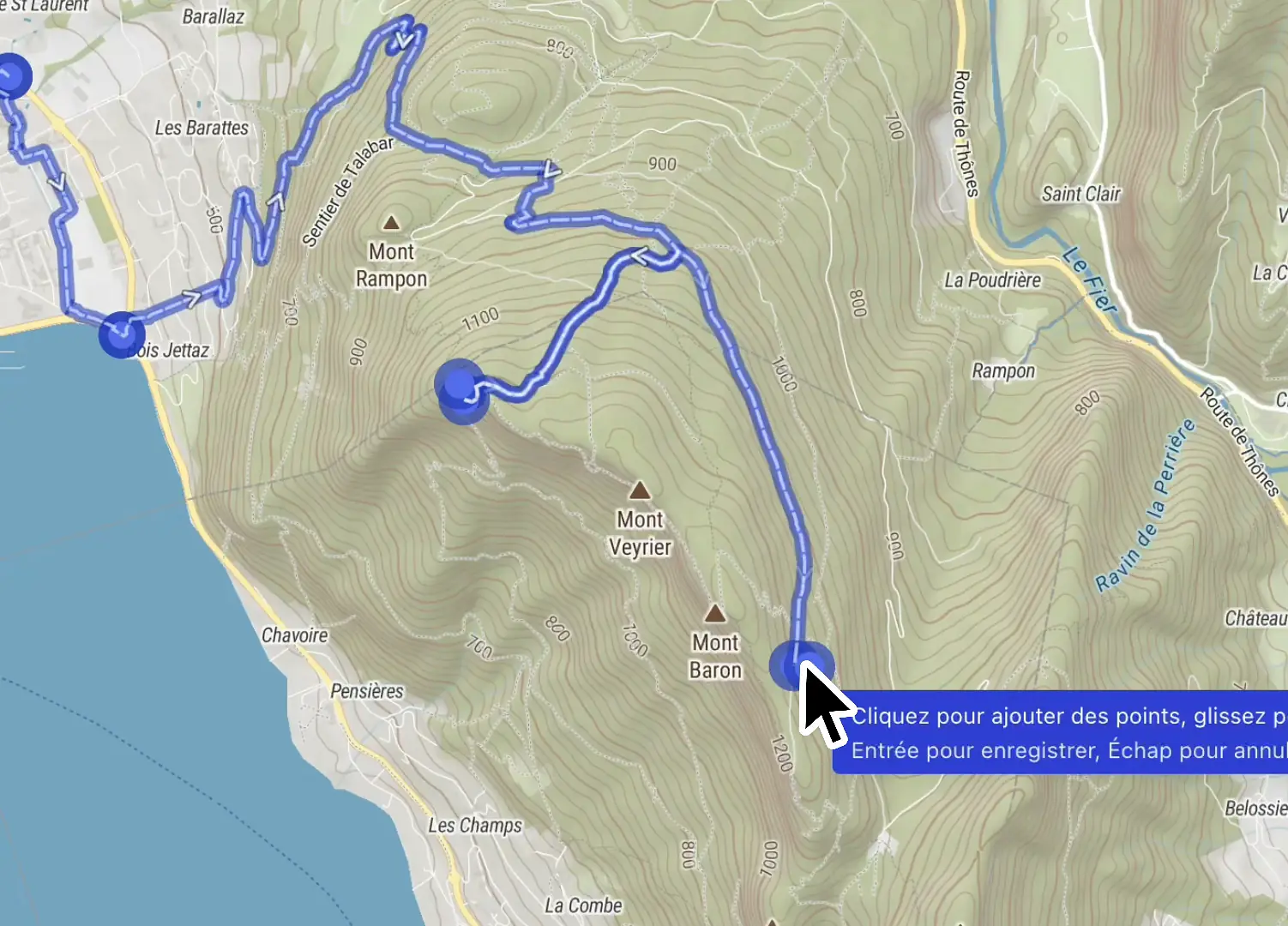
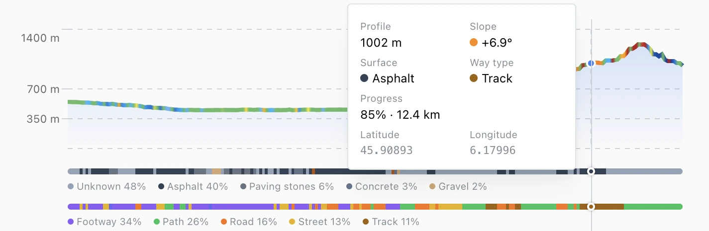
Elevation and terrain
The figures behind every segment
Draw the line and read it back segment by segment. Compare two variants on distance and ascent, place aid stations on the climbs, and set cutoffs you can defend at the briefing.
- Ascent, descent and gradient for each segment
- Route variants compared on the same figures
- Steep sections flagged by their slope range
Basemaps and layers
One basemap underneath, terrain and weather on top
Pick the basemap you draw on, then add overlays for steepness, aspect and the weather to come.
Basemaps
Satellite for course recon, topographic for route planning, winter topographic for work on snow. Switch as the job changes, and the course stays where you drew it.
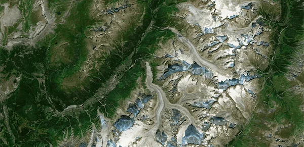
Satellite 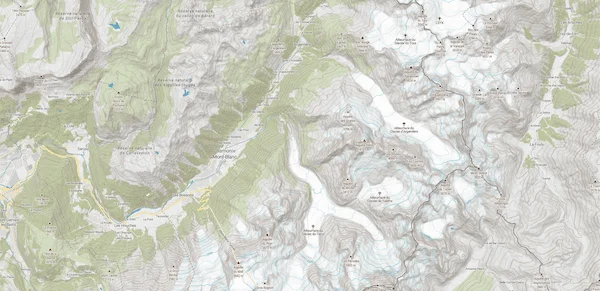
General topographic 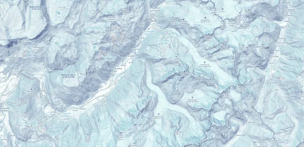
Winter topographic
Analysis overlays
Shade the relief, color the slope by steepness, or read which way it faces. The steep and exposed sections show before anyone heads out.
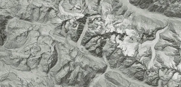
Hillshade 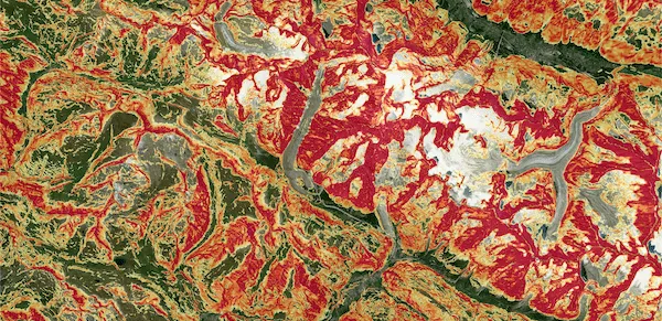
Slope steepness 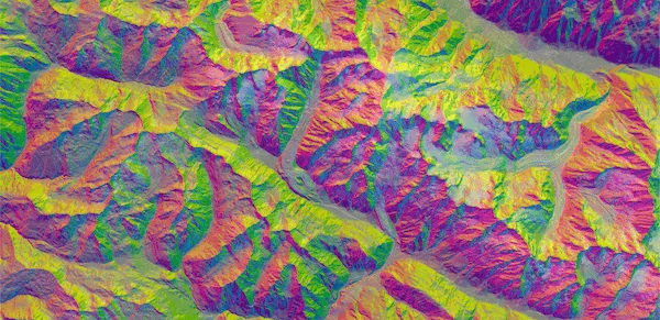
Aspect-Slope
Weather and snow
Wind, temperature, visibility, snowfall and snow depth, laid over the course. Move from past days to the forecast, and brief the team on what the forecast shows.
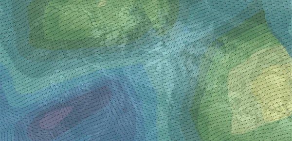
Wind 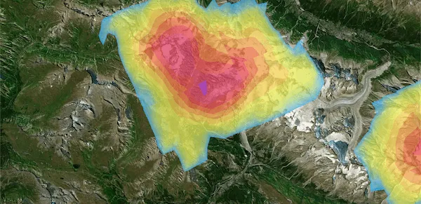
Snow depth 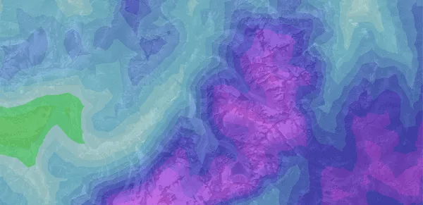
Perceived temperature
+6 more: Air temperature, Soil temperature, Snowfall (daily), Snowfall (hourly), Humidity, Visibility
The toolkit
Structure the course, then export or publish it
Break the course into segments, grade each one, and switch sport without redrawing. Then export a GPX, render a flythrough, or publish the map.
The course in one itinerary
Segments, aid stations, checkpoints, waypoints and route variants live in a single itinerary. Nothing about the course sits in someone's notes.
Switch sport, routing follows
Routing, surface and pace follow the activity you pick: trail, road running, road cycling, ski touring, cross-country skiing or snowshoe. Draw freehand wherever routing does not reach yet.
Restructure without redrawing
Merge two segments, cut one in two, or insert a new one between them. The course keeps the line you already shaped.
Group segments into one leg
Group a run of segments, and the map and the elevation profile show your visitors a single leg.
A grade on every section
SAC hiking grades from T1 to T6, read off each segment of the line.
Import and export GPX
Import a GPX or KML to start from an existing course. Export any itinerary as GPX, FIT or TCX, which Garmin, Suunto and Strava read natively.
Export a flythrough video
Render a flythrough of the finished line, in your brand, for race briefings, partner decks and social posts. The video comes with Map Publishing.
Drafts stay private
Keep editing in a private draft. Athletes, visitors and embedded maps only see the version you published.
Map Publishing
Put the finished course on your own site
Choose what your visitors see: the elevation profile, the course characteristics, the GPX download, the map controls. The map takes a light or dark theme to sit in your page.
Which course do you want to build first?
Bring last year's GPX or start from a blank map. We draw it with you in the Itinerary Editor, on your own terrain.
Frequently asked questions
The Itinerary Editor is the visual editor of Map Studio, Mountaya's online application. You draw race courses, touring routes and resort maps on a 3D map. It routes on foot, on snow and by road bike, and you draw freehand where routing is not available yet. It reads slope, surface and way type along the line, and layers past, live and forecast weather on top. Your team edits the same course in real time.
Yes. Import a GPX or KML to start from an existing course. Export any itinerary as GPX, FIT or TCX, which Garmin, Suunto and Strava read natively.
Yes, with Map Publishing. One line of code puts the interactive map on your race site, coaching dashboard or resort portal, with its elevation profile and weather layers. You choose which controls and layers your visitors get. The Mountaya mark stays on the map unless you add the white-label option.
The Itinerary Editor is part of every Mountaya agreement, signed and quoted to what you publish. The pricing page explains how a quote is built.
Yes. Your organization turns on the AI agent with its own AI credentials. From a plain-language prompt, the AI agent moves segments, swaps overlays and rebuilds routes, alongside the manual editor.
Yes. Your team, safety leads, coaches and event partners open the same itinerary and see each other's cursors. Every waypoint, segment and overlay change lands live. You compare variants and sign off together, on the live course.